Geofencing for cities: part 1 (what is it and why do cities need it)
Also available in Dutch.
What is geofencing?
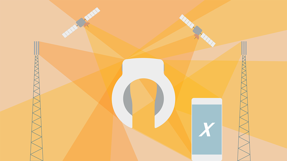
A geofence can be defined as follows: ‘A virtual geographic boundary, defined by GPS or RFID technology, that enables software to trigger a response when a mobile device enters or leaves a particular area.’
Geofencing has many practical uses and is used in most modern applications that have something to do with location-based actions. Below is a list of some current and possible uses for geofencing:
-
Drone management
A sporting event can use geofencing to create a temporary no-fly zone that prevents drones from crossing a defined perimeter. -
Fleet management
Geo-fencing can alert a dispatcher when a truck driver breaks from his route. -
Human resource management
An employee's smart card will send an alert to security if the employee attempts to enter an unauthorized, geo-fenced area. -
Compliance management
Network logs can record geofence crossings to document the proper use of devices and their compliance with established policies. -
Marketing
A small business can text an opt-in customer a coupon code when the customer's smartphone enters a defined geographical area. -
Asset management
A network administrator can set up alerts so when a hospital-owned iPad leaves the hospital grounds, the administrator can monitor the device's location and lock it down to prevent it from being used. -
Law enforcement
An ankle bracelet can alert authorities if an individual under house arrest leaves the premises. - Home automation
When the homeowner's smartphone leaves the home's geofenced perimeter, the thermostat lowers itself to a pre-defined temperature.
Why should cities use geofencing?
‘Through geofencing a city creates digital infrastructure that enables it to enforce its legislation of public space well into the future’
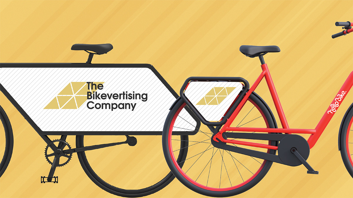
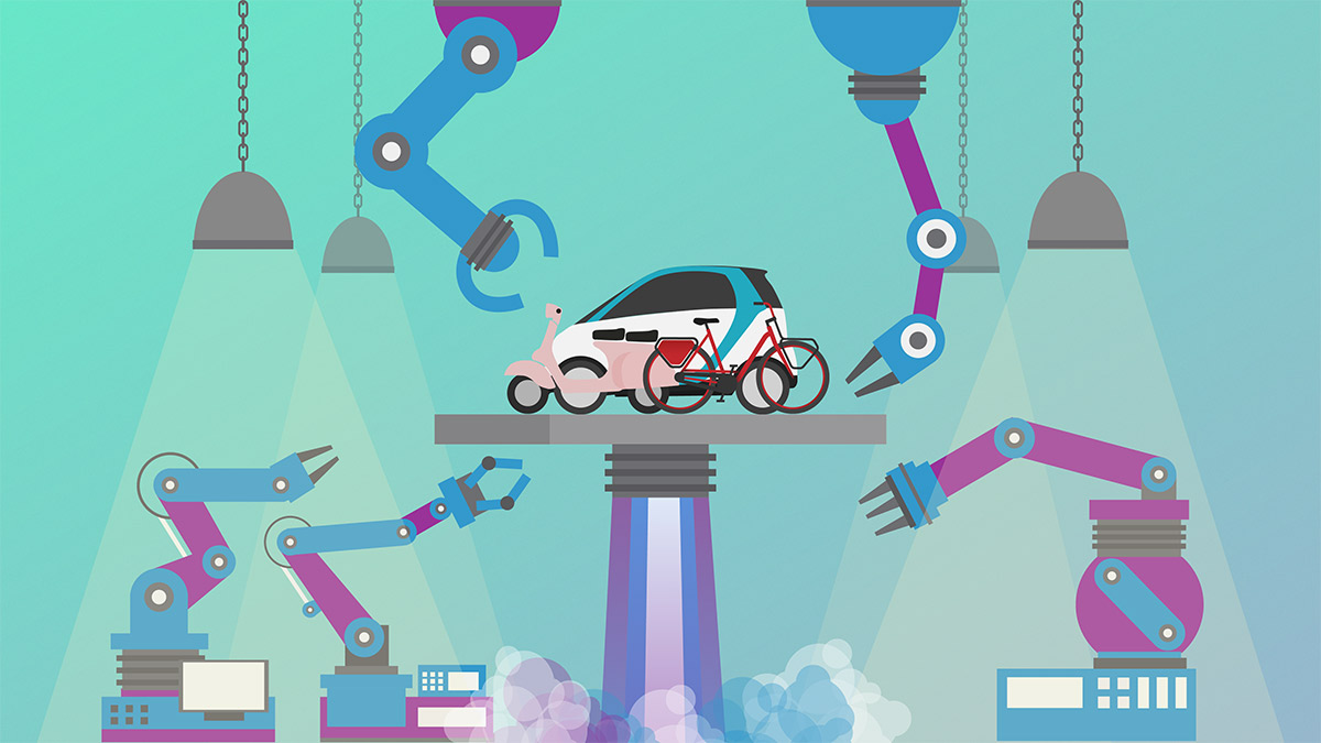
Everyday more devices get connected to the Internet, which in turn allows for all these devices to be controlled centrally without the need to be geographically close. The impact size of this shift towards the ‘internet of things’ (IoT) is still generally underestimated. Uber is example where we have seen how connecting objects to the Internet can have a huge and extremely fast impact on the status quo. Another example is the millions of bicycles that have flooded the streets of countless cities around the world while the company behind it is thousands of kilometers away.
A city doesn’t want to stand in the way of progress but also has the responsibility to prevent chaos and serve the best interest of all its citizens. Cities face multiple challenges in light of the upcoming IoT:
- How to prepare for the sheer speed at which these companies can roll out across the world
- How to keep track of all IoT devices roaming their public space
- How to set effective legislation and how to enforce said regulation without incurring high costs
A geofence platform controlled by the city itself will help to quickly and effectively manage all IoT connected devices in the city’s public space. Also, it will give a city the tool to be prepared for future IoT storms coming their way. Part 2 of “Geofencing for cities” will demonstrate how a geofence platform will serve both the city and its citizens.